
Government Organizations
Maps API tools help you automate geodata processing, customer service, and transport. Working with addresses is fast and easy, meaning you can show service areas for your locations on the map, streamline routes for city service vehicles, track public transport online, and much more.
Addresses
Search and geocoding
Enjoy access to the expansive database of addresses and organizations Yandex Maps has to offer. Another benefit is organizing and updating your own address database, converting coordinates into standardized addresses and vice versa.

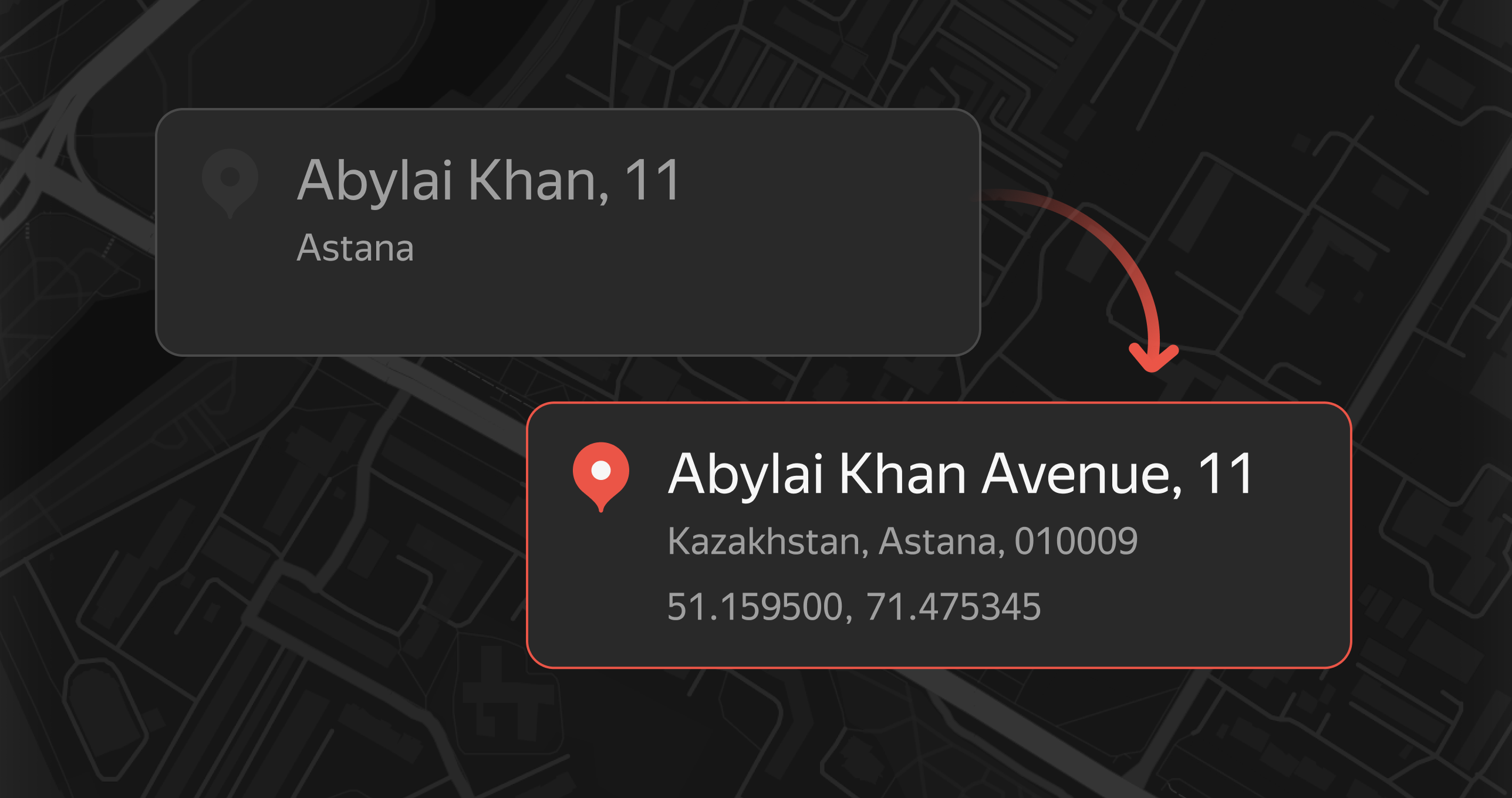
Entering and verifying addresses
Simplify address entry wherever you need it, for example, when working with citizens’ applications or filling out documents. Geosuggest helps quickly enter organization, city, and street names while minimizing mistakes.
Public service

Infrastructure on the map
Make it easier for locals and tourists alike to interact with the city by highlighting important social locations and attractions on the map.

Branch and institution search
Utilize the Organization Search API on your website or app to let customers easily find post offices, hospitals, or other institutions that match the services, business hours, and location they need.

Marking service zones
Show service zones on the map so visitors know which address to visit.
Transport and navigation

Directions
With our API, you can get directions that account for traffic and deliver you right to the building entrance, minimizing travel time for drivers.

Building routes
Distance Matrix streamlines operations for firefighters, ambulances, the police, utility services, and more. It allows for quick identification of nearby vehicles and efficient service planning.

Tracking public transport
With Maps API, you can show online where the city's buses, trams, trolleybuses, and mini buses are.
Need assistance?
Feel free to reach out.