What is Yandex Metro?
Yandex Metro can help you plan a subway journey in many cities around the world.
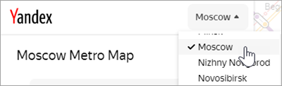
Select the city in the list that opens when you click the button with the city name:
There are two options for planning your route:
Option 1
Enter your start and destination stations in the From and To fields.
Option 2
Select your start and destination stations on the map.
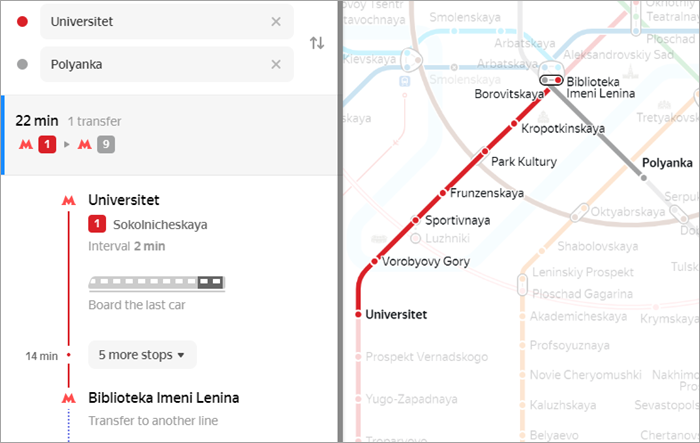
Once you have selected the two points, the shortest route is shown on the map, and the route card appears to the left of the map:
Note
-
To zoom the map in or out, click
 or
or  , or scroll away from or towards yourself.
 -
The route map and card show details for the shortest route.
If there are multiple routes between your start and destination stations, you will see additional lines indicating the number of transfers and the journey time. Click on the desired line to learn more about a route.
The route card shows detailed information about your journey:
-
Average journey time. The time only includes the journey time between the metro stations and for transfers between lines. It does not include the time spent on the escalators at your start and destination stations.
-
Route map. This also shows which part of the train you should board in order to arrive close to your exit at the station.
If traffic on a particular route is restricted (for example, due to maintenance on an escalator), the  icon appears on the route map. Click on it to learn more about the restriction.
You can also go to

