2.8. Circular linear and polygonal items
This section contains techniques for drawing circular items.
These items may be linear (such as road sections) or polygonal (such as buildings; territories; administrative divisions; and vegetation, terrain and hydrographic items).
There are general drawing techniques that are used to draw all the aforementioned categories.
To draw a circular item (such as a roundabout or building):
-
Click Create. Select the appropriate item category (Road
 or Building
 ).
). -
The attribute panel and local toolbar opens.
Click Circular mode
 in the local toolbar.
 -
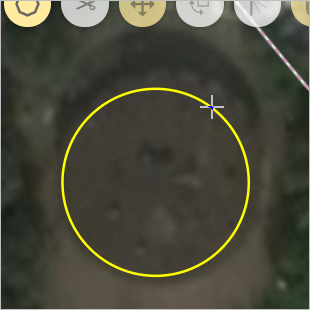
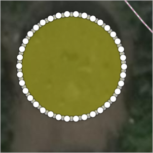
Hold your cursor on any arbitrary point of the circle that you plan to draw.
Hold and drag the mouse toward the opposite side of the circle you are drawing.
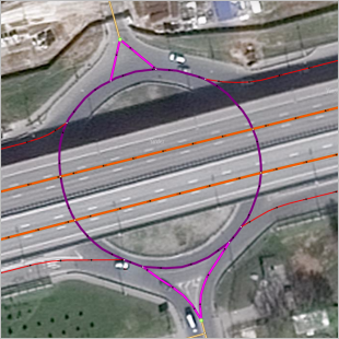
A circle will appear on the map and its diameter will change along with your mouse movements:
-
When the circle has reached the appropriate size, let go of the mouse button.
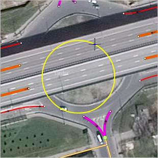
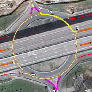
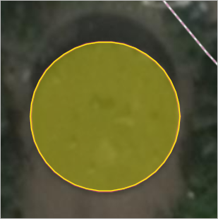
The circle will transform into a circular road section or building outline:
Note
If you draw a circular road section, you can then split it after its saved (road sections should have beginning and ending points).
-
Click Save in the attribute panel.
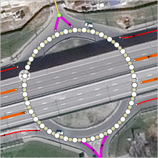
The item will be saved as a circular road item or building polygon:
Note
If you draw a circular road section and then save it, it will be automatically linked to the vertexes of road sections that were drawn earlier and divided into separate sections at the places where it intersects with those other road sections.
If you break any drawing rules (for example, if some road sections overlap), you'll see an error message indicating where the problem is. Then you will have to correct the road sections that were drawn earlier and re-draw the item.
After the circular road section item is saved, you can edit the places where it connects with the road sections drawn earlier and add any sections that remain: