3.2.3. Drawing centers of administrative divisions
You can use a placemark to mark the center of an Administrative division
. This point is used on the map when you set an item's caption.
The center of an administrative unit should be marked in the geographical center of that item on the map (or close to it).
Alert
The center of an administrative division should be located within that division's polygon. If that item consists of several polygons, then the center should be inside one of them.
If a locality has a complicated border and its geographical center is very far from its historical center (such as in Moscow, where Red Square has traditionally been regarded as the center) or a city district
center is located in an industrial zone or an undeveloped territory, then enter the center in accordance with the rules in section 3.2.1.5.
To enter a division center:
-
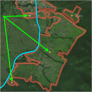
After you draw the polygon for the administrative division, click Specify or change center of item
 .
. -
Click to set the center (which will appear as an orange placemark):
You can drag the center with your mouse if necessary. Double-click on the marker to delete it.